Understanding the Looking Glass River
Colonial Michigan was a very wet state plagued with massive numbers of mosquitoes. The Looking Glass River was a naturally occurring drain. In order to settle the area, man made ditches, identified on the map as drains, were dug in order to drain the wetlands. These drains empty into the Looking Glass River.
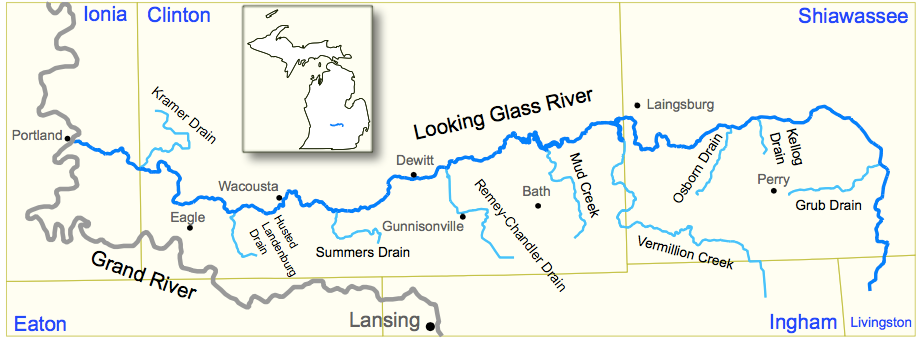
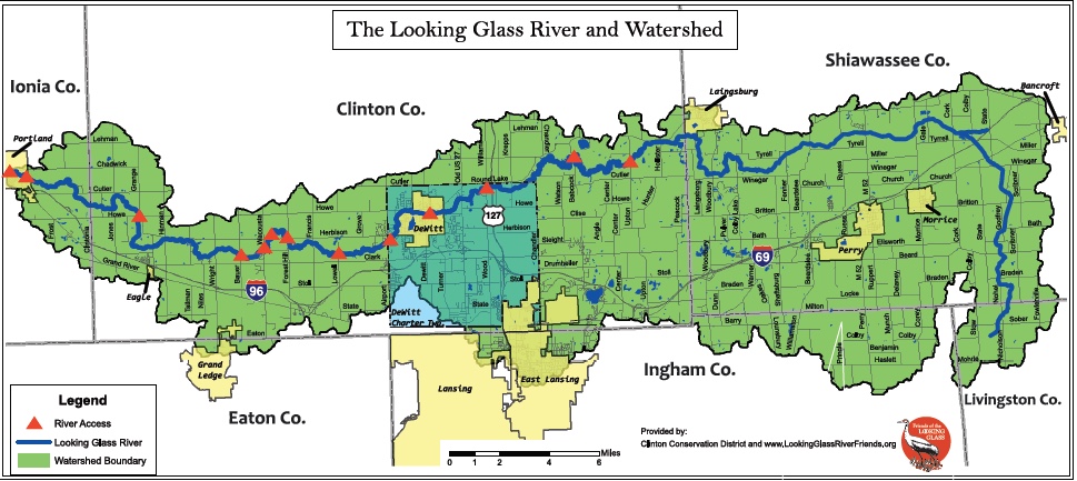
It is important to note that water originating from rain, snow, farms and homes within the highlighted areas (shown in the map below) eventually end up in the Looking Glass River. For example fertilizer run off originating from the properties located in the watershed result in large blooms of Duckweed. The Duckweed enable the river to handle excessive amounts of nutrients. The health of the river depends on good watershed management.
Log jams in the river result from trees that have died either as the result of the Emerald Ash Boer (ash trees), natural tree death or weather events like wind, lightning, ice or snow. Although logjams can be an annoyance to the recreational users of the river, logjams can function as bank stabilizers and habitat for fish and other wildlife. For more information about watershed management, watch the following video: